
![]()
![]()

This upcoming Sunday, December 21 will be the second of three training runs in lead up to the February 14 Black Canyon Ultras. We will be breaking up the 100K course into three sections on November 23, December 21 and January 18. Each run will be minimally supported, minimally marked and point to point. We will have shorter options at each. Here is information for those of you wanting to join on this first training run:
Date:
Sunday, December 21, 2014.
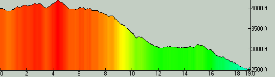
Distance:
Mile 0 – Bumble Bee
Mile 4.5 – Gloriana Mine TH (we may have water here)
Mile 12.8 – Soap Creek (Aid)
Mile 18.0 – Black Canyon City TH (Finish)
Time:
7:00am Meet at Black Canyon City TH.
or 7:30am Meet at Bumble Bee.
The run will start at approximately 7:30am from Bumble Bee.
Driving Directions:
Directions to Black Canyon City TH (end of run, park here to carpool to Bumble Bee)
1. Take exit 242 off the I-17 towards Rock Springs / Black Canyon City
2. Turn left at the stop sign onto Velda Road Road
3. Turn right at the next stop sign onto the Old Black Canyon Highway and then an immediate left onto Warner Road towards the Black Canyon City Trailhead
4. Follow Warner Road for 0.3 miles to the trailhead and aid station. There is a restroom located at this trailhead. There are also dining options and a General Store in Rock Springs and some more options a couple miles north on the Old Black Canyon Highway in Black Canyon City as well as a gas station.
Directions to Bumble Bee (start of run):
1. Drive north from Phoenix on the I-17 Freeway
2. Take exit #248 towards Bumble Bee / Crown King
3. Turn left and drive 2.1 miles on pavement (road descends downhill)
4. Turn right at the bottom where it turns to dirt and take Crown King Road for 3.0 miles and park just past the bridge on the left hand side of the road.
Format:
This is a no fee, limited aid, limited course marking training run. You must plan to be self sufficient in terms of navigation, personal safety and aid between stations. We will drop water at the Gloriana Mine TH at mile 4.5 and have water and food at mile 12.8 (Soap Creek). Please study the maps in this post, utilize the posted GPS files and follow signage for the Black Canyon Trail.
Markings:
The course on principle will be unmarked. There is signage for the Black Canyon Trail at most questionable junctions, but we recommend studying and printing maps to bring with you. The front runners will be carrying some flour and placing some flour dots on the ground at important turns.
Post Run Gathering:
Bring a camp chair, some snacks and beer to share old school style!
Some of us may check out Roadrunner Steak House, Bar & Saloon after the run: http://www.roadrunnersteakhouse.com/
Printable Maps:


Contact:
Questions? Email Jamil at jamil@aravaiparunning.com or call 602-361-7440
RSVP:
Facebook Event


